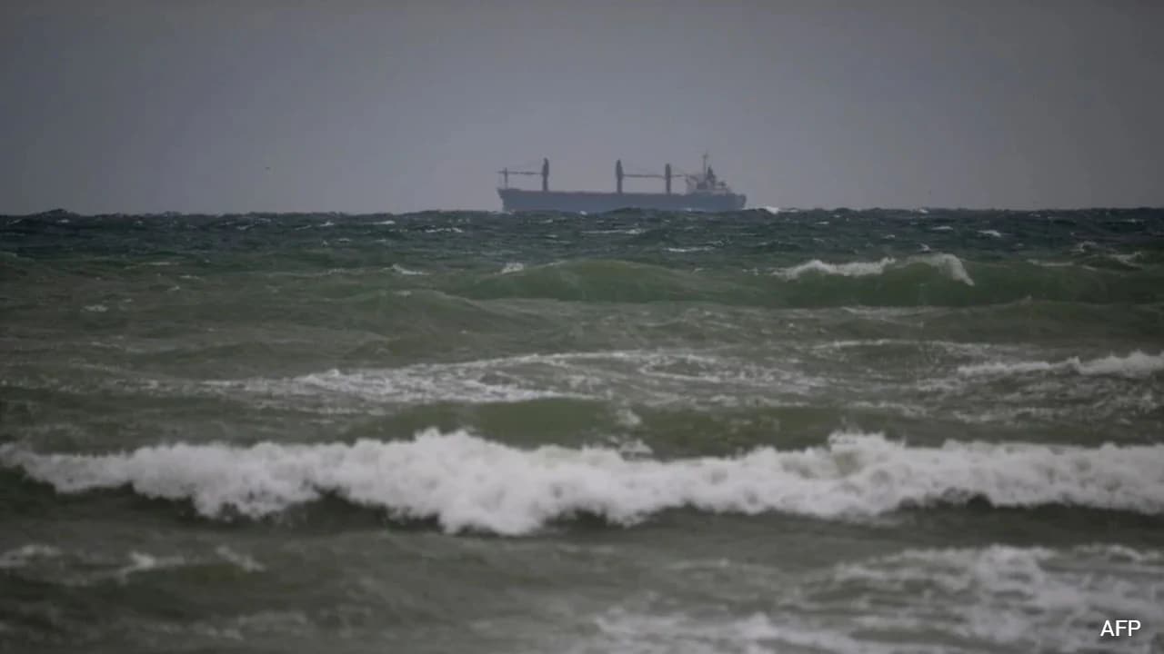
Headline news about a single vessel strike—"1 Dead, 3 Missing After Suspected Russian Drone Attack On Ship In Black Sea"—treats a recurring maritime disruption as an isolated accident. Viewed from an operational and strategic vantage point, individual casualty tallies obscure the structural mechanics of a contested shipping corridor where low-cost unmanned systems alter commercial risk pricing along NATO's western littoral.
Standard breaking reports typically compress complex naval and economic dynamics into four flat elements: a human casualty count, a suspected perpetrator, a vague geographic location, and a brief note on global food supply anxiety. That framing fails to explain why merchant vessels keep routing through high-threat waters, why attribution remains contested, or how surveillance assets spot threats without stopping hull breaches. To understand what is actually happening in the Black Sea, analysts need to examine the corridor's geometry, the asymmetry of unmanned maritime warfare, the friction of attribution, and the limits of current defense posture. If you liked this post, you should check out: this related article.
Why Shallow Coastal Lanes Concentrate Risk
Commercial shipping in the western Black Sea does not disperse evenly across open water. Because Russian strikes and blockades have pressured Ukrainian Black Sea ports since the full-scale invasion began, maritime trade has leaned heavily on Danube River ports and coastal transit routes hugging the shores of Romania and Bulgaria, including approaches tied to the Sulina Canal.
Constraining traffic into narrow coastal corridors and choke points creates predictable target density. A vessel bound for or departing from regional grain and commodity terminals must follow recognizable navigational lanes and approach patterns. For an attacker deploying unmanned aerial or surface systems, predictability lowers search cost. Rather than hunting across thousands of square kilometers of open sea, operators can focus sensors and loitering munitions along well-traveled transit vectors and anchorage zones. For another angle on this story, check out the latest coverage from The Guardian.
This geographic compression also alters emergency response. When a bulk carrier or tanker takes a hit near Romanian or Bulgarian waters, rescue coordination depends on coastal search-and-rescue assets, nearby merchant vessels, helicopters, and regional port authorities. Survival outcomes vary sharply depending on sea state, water temperature, hull stability, and time to rescue—explaining why one strike can result in a full crew evacuation while another leaves sailors dead or missing at sea.
The Cost Function of Unmanned Maritime Disruption
A conventional naval campaign requires heavy surface combatants, submarines, or land-based anti-ship missiles whose deployment carries high signature and high unit cost. Unmanned systems invert that cost function. Whether an attack involves an aerial loitering munition or an unmanned surface vessel, the attacker expends a relatively inexpensive, attritable platform to impose severe physical and financial damage on a multi-million-dollar merchant hull and its cargo.
In maritime security economics, the damage from a strike extends well beyond the immediate loss of a vessel or cargo such as wheat, corn, or liquefied petroleum gas. Three cost layers compound across the system:
- Direct Hull and Cargo Loss: Capsizing, hull fires, structural breaches, and lost commodities—whether bulk grain or energy products—create immediate capital write-downs and crew casualties.
- War Risk and Insurance Friction: Repeated attacks near commercial lanes push marine war-risk premiums higher, tighten underwriting terms, and force shipowners and charterers to recalculate voyage profitability on a trip-by-trip basis.
- Routing and Delay Penalties: Congestion around river mouths, anchorages, and safer coastal detours lengthens turnaround times, ties up tonnage, and reduces effective transport capacity even for ships that are never struck.
Crucially, an attacker does not need to sink every ship to degrade trade flows. Intermittent strikes that sink some vessels, set others ablaze, and leave crews missing inject chronic tail risk into every transit. Even a low probability of a fatal strike changes operator behavior when margins tighten.
Known Facts Versus Educated Hypotheses in Attribution
Headline phrasing such as "suspected Russian drone attack" blends verified physical outcomes with contested attribution. Separating established facts from analytical inference is essential to avoid overstating certainty.
What Is Established
Maritime authorities, regional officials, and security monitors have documented a wave of drone and unmanned system strikes affecting commercial vessels in the western Black Sea, including incidents off Romania and Bulgaria. Vessels carrying agricultural goods and other commercial cargoes have suffered fires, structural damage, and sinkings, resulting in rescued crews alongside confirmed fatalities and missing seafarers across multiple incidents. Regional states have also scrambled aircraft, intercepted drones in certain instances, and stepped up surveillance activity.
Where Educated Hypotheses Begin
Assigning definitive blame for every specific strike involves genuine evidentiary hurdles. A vessel hit at night or offshore may not capture conclusive telemetry identifying the launch site, command link, or operator. Romanian and Bulgarian officials have pointed toward Russia in connection with attacks near their coasts and regional shipping lanes, while noting limits in available proof on specific incidents. Moscow denies responsibility for attacks on civilian vessels and counter-accuses Ukrainian forces of striking vessels elsewhere in the Black Sea.
From a strategic standpoint, two hypotheses compete to explain why commercial shipping faces sustained unmanned pressure:
- Coercive Economic Attrition: Moscow has an established incentive to restrict Ukrainian maritime export revenue and complicate regional logistics without triggering a direct military clash with NATO. Operating near—or occasionally crossing into—waters adjacent to NATO littoral states tests alliance thresholds while stopping short of a declared attack on allied sovereign territory.
- Gray-Zone Plausible Deniability: Ambiguous unmanned strikes allow an actor to claim defensive or military necessity, cite navigational hazards or mines, or deny involvement altogether, slowing diplomatic and military escalation.
Neither hypothesis removes the need for strict verification. Treating every unverified claim as settled fact weakens credibility; treating documented patterns of strikes near grain and river-access routes as random noise ignores clear operational incentives.
Why Surveillance Alone Cannot Stop Hull Breaches
A common misconception in maritime commentary is that better eyes in the sky or on radar automatically equal vessel protection. In practice, detection is not interception, and interception is not prevention against low-signature drones operating in a cluttered maritime environment.
Maritime patrol aircraft, coastal radar, and airborne sensors can spot suspect tracks or unmanned surface vessels and pass warnings to regional authorities. Yet a warning issued minutes before impact often leaves a slow-moving merchant ship with almost no evasive margin. Large cargo vessels have wide turning circles, long stopping distances, and minimal armor against warheads striking engine rooms, fuel tanks, or cargo holds.
Defending commercial hulls across wide sea areas also faces a math problem. Escorting every merchant ship with warships or armed helicopters is resource-intensive, politically sensitive under regional maritime conventions, and difficult to sustain continuously. Meanwhile, shooting down drones near busy shipping lanes and NATO borders introduces collateral risk, rules-of-engagement constraints, and escalation dilemmas over how far allied forces should go to protect third-party commercial trade.
Operational Playbook for Shipowners, Charterers, and Policy Teams
Organizations exposed to Black Sea maritime risk—alongside policymakers managing littoral security—cannot rely on generic headlines or static risk ratings. A disciplined response requires sequence and operational rigor.
Step 1: Segment Exposure by Route, Cargo, and Window
Map every planned voyage against corridor proximity, anchorage dwell times, and cargo volatility. A bulk carrier transiting near high-activity approaches or waiting at anchor faces a different risk profile than a vessel moving briskly through lower-incident segments, and hazardous or flammable cargoes carry higher secondary fire and salvage stakes than inert goods.
Step 2: Harden Pre-Transit and Crew Readiness Protocols
Before entering elevated-risk zones, operators should tighten bridge watch routines, enforce dark-ship or emissions discipline where legally permitted and safe for navigation, pre-stage firefighting and damage-control gear, and brief crews on rapid mustering and abandon-ship procedures. Because cold water and rapid listing drive early casualties, survival drills and immersion readiness directly affect outcomes when strikes occur.
Step 3: Build Multi-Source Intelligence and Contingency Triggers
Combine commercial maritime intelligence, regional notices to mariners, and insurance advisories rather than relying on a single feed. Define objective pre-commitment triggers—such as spikes in nearby strikes within a set radius or window—that automatically pause charter commitments, adjust routing, or require revised war-risk coverage before a ship enters danger.
Step 4: Calibrate Allied Deterrence Without Overpromising
For defense planners, expanding maritime patrol flights, radar coverage, and counter-drone sensors improves situational awareness and signaling, yet deterrence remains incomplete if attackers face no kinetic or economic penalty for striking commercial vessels. Clearer attribution standards, faster information sharing with commercial operators, and explicit rules of engagement are prerequisites for turning surveillance into credible protection.
Limitations and Blind Spots of This Framework
No analytical model eliminates uncertainty in an active conflict zone. First, open-source reporting on maritime strikes lags behind real-time events, and details on vessel tracks, warhead types, or exact coordinates are often incomplete or disputed. Second, commercial risk pricing shifts rapidly based on insurer appetite and geopolitical shocks that a static checklist cannot predict. Third, defensive measures that work against one class of unmanned system—such as radar detection of surface drones—may perform differently against low-altitude aerial drones or sea mines.
Strategic Recommendation
Commercial operators and regional security planners should treat Black Sea drone strikes as a persistent structural hazard rather than a series of one-off shocks. Shipowners and charterers should tie voyage approvals directly to dynamic corridor risk triggers and crew-survival readiness, while NATO littoral states pair expanded aerial and radar surveillance with tighter intelligence sharing and clear escalation boundaries so commercial vessels are not left to absorb asymmetric drone attrition alone.