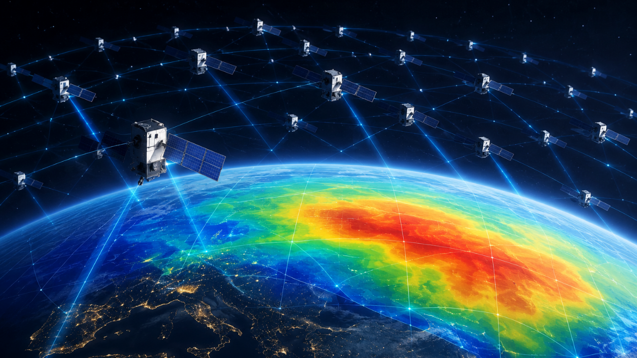
Traditional Earth observation relies on dedicated scientific payloads placed into carefully calibrated orbits. This asset-heavy paradigm breaks down when monitoring the thermosphere, an atmospheric layer extending from 100 to 1,000 kilometers above the surface. Because gas density in this region is exceptionally sparse, direct in-situ sampling requires specialized instruments, while remote sensing struggles with low signal-to-noise ratios. A recent methodological shift reframes thousands of commercial low-Earth orbit internet satellites not as obstacles to science, but as an incidental global sensor array. By treating orbital decay caused by atmospheric drag as a primary telemetry signal, researchers have bypassed the need for custom atmospheric monitoring missions.
The Mechanics of Orbital Drag Inversion
The physical principle underpinning this technique relies on the non-conservative forces acting on low-Earth orbit spacecraft. At operational altitudes hovering around 480 to 550 kilometers, residual gas molecules collide with the exterior surface of a spacecraft. This interaction transfers momentum, generating a continuous deceleration known as orbital drag. Also making waves recently: The Anatomy of Contested Logistics A Brutal Breakdown of the Ancillary Surface Craft.
The deceleration vector is directly proportional to three primary variables defined in the standard atmospheric density equation:
$$ \frac{da}{dt} = - \rho \delta V^2 $$ Additional information on this are explored by Mashable.
In this relationship, $da/dt$ represents the semi-major axis decay rate, $\rho$ is the local mass density of the thermosphere, $\delta$ is the ballistic coefficient (incorporating the satellite's mass, cross-sectional area, and drag coefficient), and $V$ is the orbital velocity.
When tracking a single scientific satellite, solving for $\rho$ yields a localized, one-dimensional data point along that specific orbital path. Dedicated missions like the European Space Agency's Swarm constellation utilize this exact approach, but their spatial coverage is constrained by a limited number of hulls. Scaling this to a megaconstellation fundamentally alters the mathematical resolution available to geophysicists.
Spatial Tomography Via Megaconstellations
Analyzing a single orbital track yields isolated vertical profiles. However, aggregating public tracking data from approximately 1,200 commercial broadband spacecraft transforms the dataset into a distributed spatial network.
The methodology converts discrete decay measurements into continuous two-dimensional density maps through tomographic reconstruction. This is the mathematical equivalent of medical computed tomography scans. Just as an X-ray CT scan reconstructs internal tissue density by passing beams through a body from multiple angles, orbital drag tomography reconstructs atmospheric density fields by passing hundreds of spacecraft trajectories through the thermosphere.
[Commercial Satellites (N ≈ 1,200)]
       │
       ▼ (Continuous Orbital Tracking)
[Decay Rate Vectors (da/dt)]
       │
       ▼ (Tomographic Reconstruction Algorithm)
[Global 2D Thermospheric Density Maps]
This structural shift resolves spatial bottlenecks that previously obscured regional variations in upper atmospheric weather. Solar flares, geomagnetic storms, and localized solar heating alter thermospheric density dynamically. Traditional models estimate these changes globally, smoothing out regional anomalies. The multi-point constellation approach captures longitudinal and latitudinal density gradients that correlate directly with space weather phenomena.
Operational Constraints and Error Propagation
While the quantitative yield of this method is high, the architecture contains inherent structural limitations. Understanding these boundaries prevents misinterpretation of the derived data products.
The primary constraint stems from orbital inclination limits. Commercial broadband constellations often occupy specific inclination shells—frequently around 53 degrees—leaving severe observational gaps at polar latitudes. Consequently, high-latitude thermospheric dynamics remain under-sampled by this specific network.
A secondary vulnerability involves the ballistic coefficient ($\delta$). Commercial satellites dynamically alter their orientation to maintain communication links, manage power via solar array rotation, and avoid collisions. These attitude adjustments change the effective cross-sectional area exposed to the airflow. If an analytical model assumes a static ballistic coefficient while a spacecraft maneuvers, the calculated density spike or drop will reflect an operational attitude change rather than a true atmospheric fluctuation.
Validation against independent platforms, such as the Swarm constellation, indicates that aggregated tomographic models achieve approximately 95 percent baseline alignment with established readings under stable conditions. Yet, individual measurement variations can swing between 60 and 120 percent during high-entropy geomagnetic events. This variance highlights that the technique currently excels at mapping broad, multi-day regional trends rather than instantaneous micro-turbulences.
Strategic Engineering Integration
Integrating commercial satellite tracking data into geophysical pipelines shifts the economic model of Earth observation. Building, testing, and launching a dedicated scientific atmospheric research mission routinely requires hundreds of millions of dollars and decades of lead time. Harvesting telemetry from operational constellations leverages infrastructure funded entirely by commercial telecommunications.
For orbital safety management, this high-density mapping provides direct operational utility. Accurate thermospheric density inputs feed directly into collision avoidance algorithms. As low-Earth orbit grows increasingly congested, prediction errors in satellite drift compound rapidly. Feeding empirical, tomographically derived density maps into propagation software reduces miss-distance calculation errors for active maneuver planning.
To scale this framework beyond academic proofs of concept, atmospheric researchers must establish programmatic data-sharing pipelines with commercial operators. Standardizing telemetry release formats and incorporating real-time attitude logs into public ephemeris data will eliminate the primary source of noise in drag-inversion calculations. Transitioning from post-hoc analysis of historical orbital decay to automated, near-real-time ingestion of megaconstellation telemetry will establish an ongoing atmospheric monitoring grid.
Starlink Satellites Just Mapped a Hidden Layer of Earth's Atmosphere #shorts
This video provides a concise visual overview of how researchers use Kyoto University's orbital drag analysis technique to map the thermosphere using commercial satellite data.